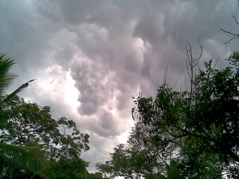
What makes this year special, explains Rosenfeld, is that the systems are suffering from the "blocking" phenomena - they are stuck in place, so a strong depression has stabilized over Western Europe while a strong level has stabilized on the other hand, over our region, without changing.

Professor Pinchas Alpert, head of the Porter School of Environmental Studies: Meet the enemy that prevents rain
A significant portion of the rain gauges scattered throughout the country may measure zero millimeters of precipitation by the end of the month, in what looks like one of the worst openings of the winter in the last decades. The optimistic forecasters, such as Tzachi Waxman from the Metao-Tech company, talk about the fact that the weather may change in ten days, but on the other hand, there are climate researchers who predict that the warm winter will last even throughout the next month.
On the other hand - as almost always - when here it is hot and dry, in Western Europe there is a winter worthy of its name, with blizzards and cold waves. Forecasters and climate researchers explain that here lies one of the keys to understanding the warm winter. According to Professor Danny Rosenfeld from the Institute of Earth Sciences at the Hebrew University, "Every year there is a flow of very cold air from the polar direction towards Western Europe and from there towards the equator, which gives way to the warm air coming from the south. Usually the systems change - sometimes it's colder in Europe and warmer here, and vice versa."
What makes this year special, explains Rosenfeld, is that the systems are suffering from the "blocking" phenomena - they are stuck in place, so a strong depression has stabilized over Western Europe while a strong level has stabilized on the other hand, over our region, without changing.
Professor Pinchas Alpert, head of the Porter School of Environmental Studies at Tel Aviv University, adds that in winter without the blocking phenomenon, eddies form where the cold air meets the warm air: fingers of cold air are sent from north to south while the warm air coming from the south breaks through in the front coming from the pole. "Thus, in a normal winter, horizontal waves form on the front between the cold and warm air, which rotate under the influence of the Earth's rotation. These waves alternately bring with them two or three days of rain - that is, a depression over our area - then a break of several days and then another rain, like that in cycles. This orderly system is sometimes overlaid with all kinds of disturbances, and one of the biggest disturbances is the blocking: instead of moving over our area a depression, then a plateau, then a depression, instead there is a depression from the north and a plateau from the south that are locked in place."
Dr. Amir Givati, director of the research unit at the Water Authority, says that an important element in understanding the phenomenon is the change in temperatures in the oceans in the tropics. "Last year they talked about warm oceans, the phenomenon known as El Niño. This year we are in the opposite situation and the oceans in the area between Peru and Australia are a degree and a half colder. This is the La Niña phenomenon. And when the oceans are colder, there is less air circulation. In such a situation, there is stagnation of all systems." In addition, while most researchers hesitate to immediately link global warming to the winter that is not coming, they make it clear that this year joins a distinct trend.
However, Professor Alpert has not lost all hope about this winter. According to him, sometimes it happens that the second half of a warm winter compensates for a weak first part of the season; It is possible that the beginning of 2011 will be characterized by blocking in which, instead of the plateau that is now over Israel, there will be a strong depression that will lock over our region and bring with it a relatively rainy winter. "The winter of 1949-1950, for example, started out very dry," recalls Prof. Alpert, "but in the second half of it Tel Aviv experienced heavy snow."
However, even though the winter days are not in sight, the influenza disease that characterizes them has already been active in Israel for about a month, at a routine level compared to the corresponding period in recent years. According to the Center for Disease Control in the Ministry of Health, which monitors the spread of the flu in Israel, last week an increase in the number of referrals to clinics in the community with flu-like illness and pneumonia was observed. The hospitals do not report overcrowding that characterizes stormy winter months. The average bed occupancy in the internal wards (106%) and the children's wards (99%) is also reasonable. This year, more than 750 Israelis have already been vaccinated against the flu, about a tenth of the population, including 46% of adults over the age of 65. This year, the health funds were equipped with 1.2 million doses of seasonal flu vaccine.

2 תגובות
In addition to "La Niña" there are those who attribute the "blocking phenomenon" to the slowing down of the Gulf Stream
and the lack of ice in the northern ocean.
The last part is interesting.
How is it that the spread of the flu is the same as in previous years?