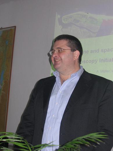
This is what Andiras Muller, who is responsible for building the satellite and its scientific instruments, said in a lecture he gave to the students and lecturers of the Department of Geography and Earth Sciences at Tel Aviv University

Muller presented three projects at the conference: a new satellite, an aerial camera and an image processing system that aims to help users extract as much information as possible from the photographs, while the software corrects angles, atmospheric disturbances and more.
But as mentioned, the important issue is the satellite that Muller is responsible for the technological side of its construction - EnMAP - (Environmental Mapping and Analysis Program). The project is now after the feasibility phase both technologically and economically, but before its construction phase. If everything goes as planned, the German Space Agency hopes to launch the satellite in 2011.
The goal of the mission, according to Muller, is to provide hyperspectral imaging data (that is, images in a very wide spectrum range) on a regular and frequent basis. "The main goals of the project are to investigate as wide a range as possible of environmental parameters that indicate the state of agriculture, forests, soil and the geological environment, coastal areas and inland water reservoirs. The new camera developed for the satellite will significantly increase our understanding of integrated biospheric and geospheric processes, thus enabling us to manage and ensure conservation of vital resources.
The main points of the mission
• Use of hyperspectral sensors based on existing technology or that is in advanced development.
• Wide spectral range - from 420 nanometers to 1030 nanometers (VNIR - near infrared) and a second device in the more distant range - SWIR, from 950 to 2450 nanometers, with high radiometric resolution and stability in both spectrum ranges. By the way, the overlap is intended to obtain a continuous image of the same object in all possible bandwidths, in contrast to the devices that are currently on satellites and which sample several wavelengths, and gaps are created along the way.
• The width of the beam, with a large spatial resolution, is 30 kilometers, with the possibility of rotating the satellite with the camera inside it by 30 degrees to photograph, although from a different angle, the same area 4 days later (normally, the satellite will always return to the same point and from the same angle every 26 days ).
• The memory of the camera inside the satellite will be enough to survey a strip of a thousand kilometers long in each orbit - a total of 5,000 kilometers per day (assuming that only one ground station will be used).
Prof. Eyal Ben Dor, Head of the Department of Geography at Tel Aviv University says that "Müller's main messages are that hyperspectroscopy, as a remote sensing method, is an innovative technology, promising in many fields such as monitoring the quality of the environment, agriculture, identifying resources and also for security needs. Technology is developing a lot in the world. Germany is one of the leaders in the field and one of the bodies leading the field is DLR - the German Space and Aeronautics Agency and GFC is the body that scientifically manages the project. The director of the scientific field, Herman Kaufman, will also arrive in Israel soon (March 11) and give the scientific lecture."
"Being so, the Germans have invested a lot of money and are developing two tools - one is a hyperspectral sensor that will be placed in space, and will be the first hyperspectral satellite with a very high level of spectral and spatial accuracy. It will be scientifically available. They are considering that it will also be commercially available in certain areas of the world, according to research proposals. The satellite will be launched in 2011. The second field is the air field. They have a sensor that is very similar to the sensor that will be placed in a satellite, but with a much higher level of accuracy and the thermal field (infrared) that is not present in the space sensor will also be added. In the thermal field it was almost untouched, with the exception of night vision. Observations in this area will be able to add information and thus expand the range of observation purposes both in the atmosphere and on the surface of the ground. DLR has a lot of science, technology activity, they have a fleet of planes and many government budgets."
Can the German satellite be compared to the Israeli Venus satellite which is under construction?
Prof. Ben Dor: "There is nothing to compare. That would be a step up from Venus. As a bonus, you will be able to watch 12 channels at the same time. On 12 channels you can't do much. There is nothing to compare at all. Venus is an upgraded Landsat, and it's a shot up a few counts. Venus is a technological initiative on an ancient idea of El Op. It is interesting from the point of view of the Israeli community, but not for the hyperspectral community that needs a narrow channel width, many channels, and also channels in the thermal field, other processing technologies, looking for other things, finding other things, other capabilities."

One response
It's nice to know that the Germans are leading this field. In my opinion, the field of "estimating the amount of minerals and not just their existence" will have more civilian uses. Civilian use can be manifested in mining companies, perhaps oil companies, agriculture, fresh water, and many other fields.