The study seeks to deal with the uncertainty in monitoring the urban climate. Despite being characterized by sharp variations both in time and space, and having significant consequences on the quality of life, the economy and the cost of living, yet it turns out that the urban climate is hardly measured in the city
A smart city has the ability to harness information and communication technologies to improve community building, mobility, public services, health and the environment. Urban innovation applications range from air quality monitoring to street lighting control or traffic management. The technological infrastructure is not visible to the city's consumers, but it naturally has consequences both on the development of the city and on our behaviors as individuals. At the forefront of technological application for smart cities is the Hebrew University of Jerusalem, which utilizes its multidisciplinary expertise to face the challenge of renewing modern cities. Because of this, It was recently decided to establish the Center for Urban Innovation these days at the university, a center that will operate under the leadership Prof. Noam Shuval from the Department of Geography.
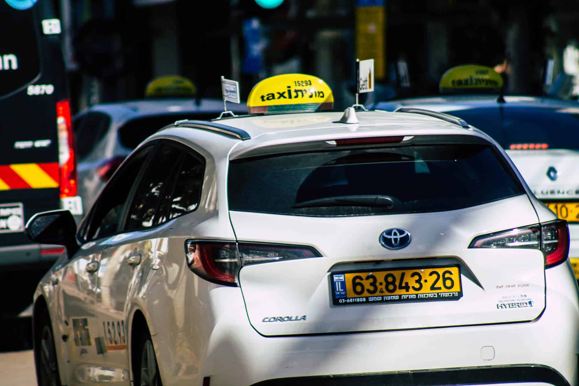
One of the prominent research currently promoted at the center deals with smart urban environmental sensing, which uses taxi vehicles as a platform with "live" coverage on an urban scale. The research leads Dr. Rotam Bar-Or from the geography department at the university, in cooperation with the companies Kanarit and Environmental Resource Management (EnviroManager) Ltd. The study seeks to deal with the uncertainty in monitoring the urban climate. Despite being characterized by sharp variations both in time and space, and having significant consequences on the quality of life, the economy and the cost of living, The urban climate is hardly measured in the city (In Jerusalem, for example, only two meteorological measuring stations operate). As a result, it is not possible to accurately assess the heat loads inside it, to monitor the creation of urban heat islands, and it is difficult to integrate planning considerations in the urban climate recession and in dealing with the expected climate changes. Also, the city's residents cannot assess their degree of exposure to different climatic and environmental conditions that can affect their health in different areas of the city.
The aim of the research is to create a complete urban microclimate picture, using sensors to collect environmental indicators (temperature, relative humidity, noise, air pollution, etc.), which will be installed on fleets of vehicles in a wide urban setting, in real time and throughout the hours of the day. The system will generate big data that will enable the creation of a broad and reliable picture of the environmental situation throughout the city. Using this data, it will be possible to produce a high-resolution urban climate map both in time and space; to locate urban heat islands; to examine relationships between traffic loads and environmental parameters; To examine socio-economic relations and environmental parameters.
