A new Israeli study used satellite images to detect air pollution in the Dead Sea region - even pollution coming from one specific factory
By Assaf Ben Naria, Angle, Science and Environment News Agency
At the end of June 2017, approx.100 A thousand cubic meters of acidic waste water into Nahal Ashlim, this after one of the walls of the waste water ponds of the Rotem Ampert Negev plant partially collapsed. Following the collapse, the wastewater flowed unimpeded for 20 kilometers in the river channel, in what appears to beOne of the most serious ecological disasters that invaded Israel. The spill left behind puddles of acidic sewage that filled the backs, the seven winter floods are filled with water and are a habitat and a source of drinking water for the animals in the area.
While the heavy damage caused to nature as a result of the burst of acid pollution was visible from afar and the number of animals that died as a result of the spill increased over time, the consequences of the damage caused by this plant and many other plants to the air quality are almost invisible on the ground. Now, this situation may change, after researchers from Tel Aviv University were able to identify the air pollution in the vicinity of the Rotem Ampert plant from space. The results of the study were recently published in the prestigious magazine Atmospheric Environment.
see through the fog
How does the activity of a large factory affect the quality of the air we breathe? When it comes to factories that operate in populated areas and in close proximity to other factories, the answer to this question is always complex. The truth is that it is very difficult to isolate the impact of a single factory on air pollution.
The Ministry of Environmental Protection tried to overcome this difficulty by charging the polluting factories with an annual report of "quantitative data of emissions and transfers of pollutants to the environment", which earned the name "Registry of Emissions to the Environment (level)". In this annual report, the factories are required to report on all the activities carried out in the factory and list all the chemicals that enter the factory every year. So, for example, if a factory purchased about 1,000 kilograms of a certain chemical, and of this amount 900 kilograms of that chemical ended up in the products produced by the factory, then about 100 kilograms were lost to the environment during the production process - as waste, sewage or as emissions into the air through the factory's chimneys.

But in order to unequivocally determine what amount of the material was emitted into the environment, continuous sampling is required, and some would say sampling by an external and independent party, of all the materials that leave the factory premises through the chimneys, the factory's sewage system and the garbage containers - such a procedure is not carried out in Israel today.
One of the important achievements achieved by researchers from Tel Aviv University as part of the research work of doctoral student Lee Saber, under the joint supervision of Dr. Alexandra Chodnovsky, head of the Air Quality Laboratory in the Department of Geography, and Prof. Pinchas Alpert from the Department of Earth Sciences and funded The Health and Environment Fund, is the ability to see through satellite photos the pollution produced by a single factory. "During the analysis of the research data, we saw that we have days when the air above the Rotem factories is more polluted than usual," says Chodnovsky.
Such an ability is a scientific leap forward - the researchers were able to show for the first time the effect of the Rotem Ampert plant in the Negev on the quality of the air around it by using satellite photographs. In the future, by using satellite information, will enforcement agencies be able to identify pollution in real time and associate the pollution with a specific source such as a factory or an industrial area, all without sending inspectors to the site?
find dust in the desert
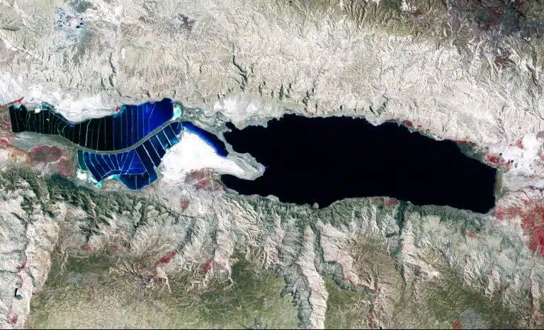
Using the research tool known as remote sensing, where information received from satellites is decoded and used to measure various parameters, is very suitable for the Dead Sea region, which includes vast and sparsely populated areas. But until recently, the weather conditions in the region and the desert glare were an obstacle for studies that make use of this type of tool. "When there is a dust storm over the ocean, for example, you immediately see it in the satellite images. But in the desert, which is characterized by a bright background, the separation between the storm and its background is much more difficult," says Chodnovsky. The solution to this was to look at a certain wavelength in the visible range, 470 nanometers. At this wavelength, the desert background appears darker and the dust and air pollution become apparent.
Using satellite images allows researchers to scan large areas, while other means of detecting air pollution, such as air samples placed on the ground, give only local information. The measure that the researchers examine is called "Aerosol Optical Depth" and is related to the concentration of particles in the air - which is a measure of air pollution. However, this index does not make it possible to determine what type of pollutants it is and it does not make it possible to separate pollutants of natural origin (such as dust particles) from pollutants that originate from industrial activity.
Waiting for photos of Venus

The use of satellite images in air pollution research is not new and there are many studies that have used satellites to see, at the level of the country or a certain large area, where the air pollution is coming from. Researchers often use the "atmospheric optical thickness" index, and the higher it is, the higher the air pollution. Already today, there are satellites that check certain common pollutants such as ozone and nitrogen and sulfur oxides (NOx and SOx) and a satellite that checks the chemical composition of the air, but their resolution is over 10 kilometers. Therefore, at this stage, they are suitable for a large country or region and certainly not for a factory level, especially in a small country like ours.
Rotem Ampert's detection of the emissions in the new study is indeed only an illustration of the capabilities of remote sensing to detect infections. But with the development of scientific tools and especially the improvement of the resolution of the satellite photographs, it can be expected that this tool will become much more relevant and can even be used as a tool for effective monitoring of pollution factors.
Another boost is expected to be provided by the research satellite Venus, a collaboration between the Israeli and French space industries, which was recently launched into space. Venus, also known as the Environmental Research Satellite, is expected to produce satellite images with an unprecedented combination of resolutions, wavelengths and frequencies. With the arrival of the first images of Venus to the research institutes in Israel, they will be able to form a basis for further studies and will give us a better picture of the quality of the air we breathe.
