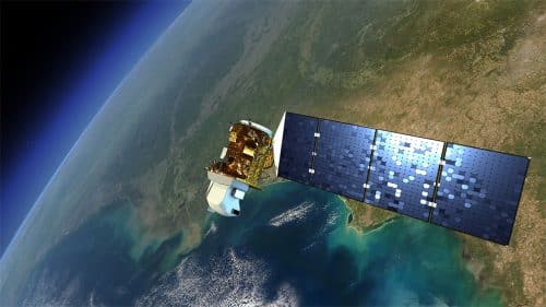
Machine learning software analyzes satellite images to discover remote areas in need of help

In 2015, the United Nations set itself the goal of elimination Extreme poverty until 2030. This is a very ambitious goal. And one of the first steps: finding the places where most of the poorest people live turned out to be incredibly difficult.
In poor countries, or in areas of military conflict, economic surveys can be an expensive and dangerous undertaking. Researchers tried to get around this limitation by looking for particularly dark areas in nighttime satellite images. "The condition of the illuminated areas at night is usually better," he explains Marshall Burke, a systems approach expert in Earth science from Stanford University. But this is not a perfect method, especially when you want to distinguish between degrees of poverty. From space, at night, moderate poverty and extreme poverty look the same: dark.
Burke and his team at Stanford believe they have found a way to improve the decoding of satellite images using machine learning. The researchers trained image analysis software using series of satellite images taken during the day and night in five African countries. The computer combined the two sets of data and "learned" which features visible in daylight (roads, urban areas, agricultural land) are suitable for different levels of illumination brightness at night. "Lighting at night is a tool for understanding the important features in images taken during the day," says Burke.
At the end of the "learning" the software was able to identify poor areas simply by examining satellite images taken during the day. When the researchers compared the results obtained with survey data conducted in the five African countries, they found that the method achieved better results than other non-traditional tools for detecting poverty, including the night lights model. Governments and NGOs could use this tool to determine who to focus on in cash transfer programs, for example, or to evaluate the results of a particular poverty policy implemented on the ground. The researchers plan to work with the World Bank to map poverty in places like Somalia. Now, Burke and his team want to use their new method to create a poverty map of Africa as a whole.
