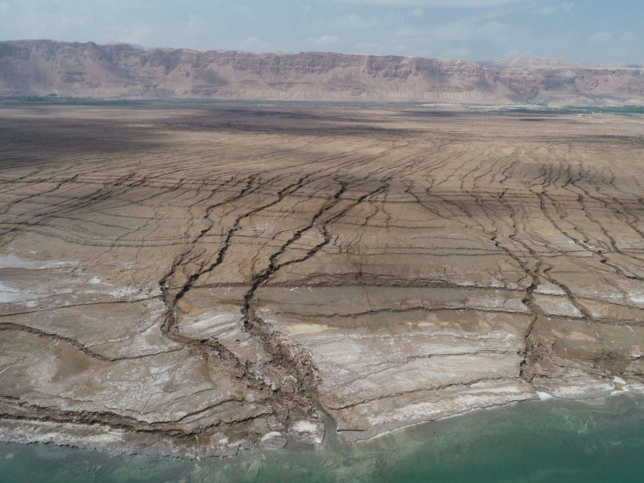
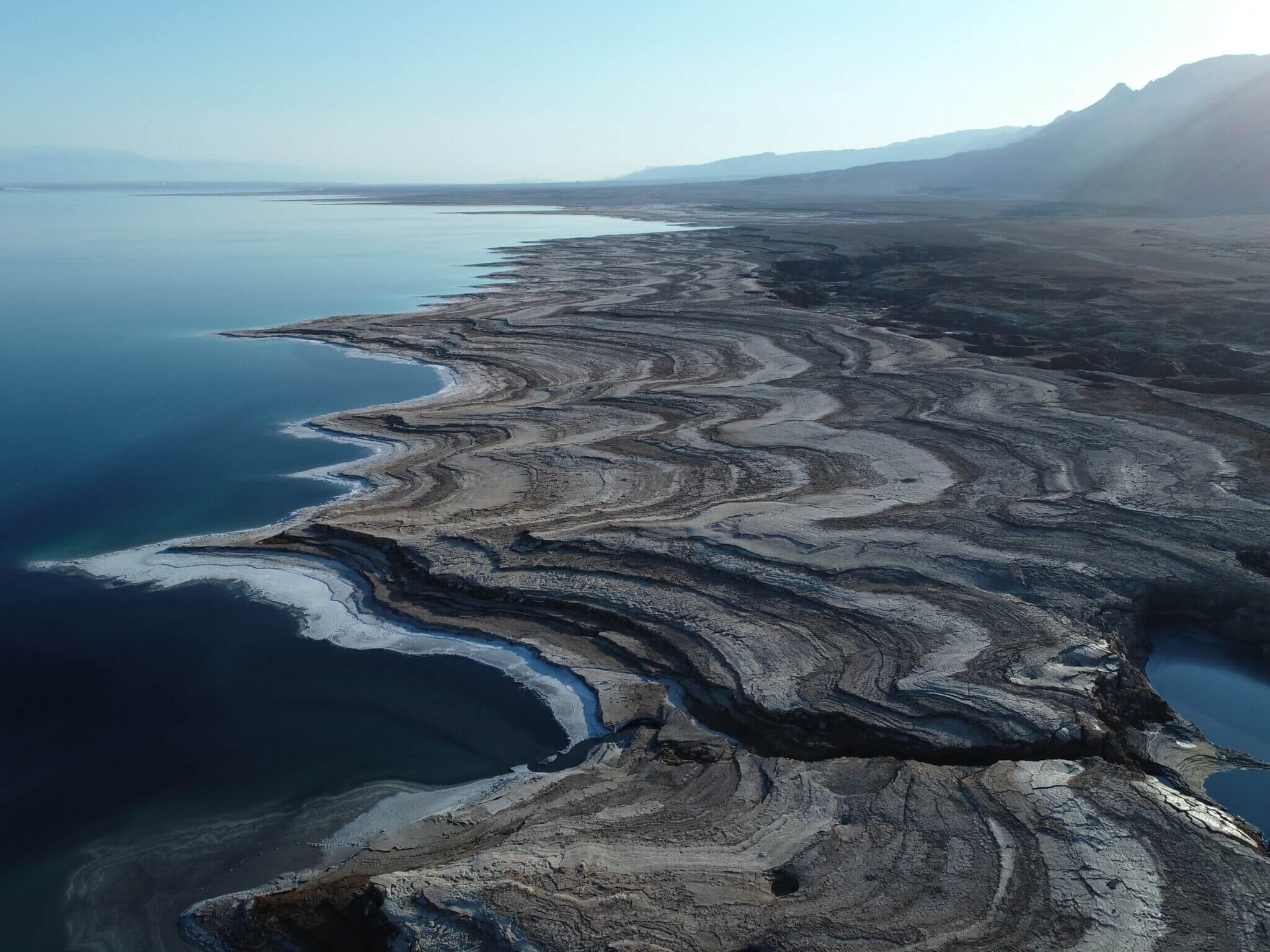
The drop in sea level allows researchers to isolate, document, study and model the consequences of the impact of waves and storms on the coast and the creation of coastlines and coastal cliffs

In recent years, the lake level drops every year by a meter to 1.2 meters. Researchers around the world want to know the consequences of the impact of waves and storms on coastlines, in order to anticipate sudden or expected processes and changes following sea level rise. In the Dead Sea, there are favorable conditions for examining this phenomenon - the drift on the beach and the effect of the waves shape the coastline, and due to the drop in the level, these changes from each season are kept dry. In this way it is possible to link them with storms and waves that occurred every year in the past. Such preservation is possible only in places of dramatic level drop.
In winter, the level of the Dead Sea is maintained, more or less, because the water evaporation is not significant, while following the rains, more water is added. With the arrival of summer, evaporation increases. With this summer level drop, the effect of the previous year's thinning remains above the water line and in this way "fixes" and becomes a permanent witness in the landscape of the thinning processes that year. Thus, every year, as the water level drops, a deeper and deeper coastline is obtained that records, from top to bottom, the effects of subsidence over the years.
"The Dead Sea gives us a continuous record of subsidence that can be used to examine similar processes around the world," says Prof. Yehuda Anzel from the Institute of Earth Sciences at the Hebrew University of Jerusalem, who studies the subsidence processes in the Dead Sea. "Since the level of the Dead Sea is falling, it does not destroy the 'evidence' from the past year but leaves it dry and fossilized and makes it possible to produce this documentation every year. This way we know what happens every year and can also determine the specific year and season in which the coastline was formed.'
The 2003 flood
For example, in 2003, which was rainier than usual, the level of the Dead Sea rose by 70 centimeters, following the release of water from the Yarmouch and a little from the Kinneret. This is a very significant increase. When the year is rainy there are also many winds in the winter season that create storm waves in the Dead Sea. The result was the subsidence of the coast to the west. In other words, the coastline was significantly cut inland and created a coastal cliff. The cliff created by this subduction still exists today because it is above the water surface and is not affected by newer subduction processes. The scientists learn from this data about similar processes on beaches in other parts of the world.
The data that Prof. Anzel and his colleagues collect have significant planning and environmental implications. "The Dead Sea tells us what will happen at its edges, if in the future someone decides to stabilize its level at one fixed height - a plan that is being discussed in order to prevent the lake's level from continuing to fall. This means that the waves, contrary to the situation where the level drops regularly, will continue to 'work' at the same height so that in practice the coastline will be 'eating' closer and closer to the infrastructures.'
To study the subsidence, the scientists collect topographic data with a resolution of centimeters. In the past, the scientists, led by Dr. Amit Moshkin, used a laser device that maps the beach in high resolution every year. In recent years, analyzes carried out by Dr. Rani Calvo on the airborne laser data of the Geological Institute have been added to this effort. Although these data are of slightly reduced resolution, their advantage is in covering wider coastal strips. In addition, the researchers from the Geological Institute led by Dr. Nadav Lansky measure the waves, winds and currents in the Dead Sea.

In this respect, the Dead Sea has an additional advantage for research over other sites: 'In the real world environmental conditions are very difficult to control or measure. This is not a laboratory where the process is completely controlled. But in the Dead Sea we have a lot of control, which enables clear measurements, because the level, the seasonality, the wind regime, the waves and the currents, are known," says Prof. Anzel.
The erosion processes look different and at different rates depending on the material from which the beach is built and on which they work. In the Dead Sea there are beaches made of pebbles, and other areas, which are mud flats. The research group does measure different materials, but is mainly interested in the factors that affect the coast - this is based on the assumption that the effects will be the same, but faster on a muddy coastline, and slower on a rocky or semi-rocky coastline such as the coastal cliff of the Mediterranean Sea.
Prof. Anzel believes that his research in the Dead Sea, which has been going on for 25 years, offers important findings and insights regarding many infrastructures and settlements built on rugged coastlines, especially in an era of global warming, rising sea levels in the world, and perhaps increasing storms.
Life itself:
Prof. Anzel: "We are strange people. While many (including us) lament the drop in the level and the shrinking of the Dead Sea, as researchers we are actually satisfied with its drop. I spent many years along the shores of this special lake, guided many students along it, hosted researchers from all over the world, and as we dug deeper, we realized that we have a treasure trove of rare information in our hands."
More of the topic in Hayadan:
- The Dead Sea is low, another culture is disappearing
- An anchor from the time of King Herod initiated the study of the activity of ancient springs and the restoration of the Dead Sea levels over the past thousands of years
- The rolling stones along the shores of the Dead Sea will help in designing storm-resistant coastal infrastructures
